2.6.35. TEM
2.6.35.1. Introduction
Victoria Embankment Temple Gardens in City of Westminster, London. Soil Moisture probes were deployed here.
2.6.35.2. Site metadata
Site ID |
TEM |
|
|---|---|---|
Full Name |
Victoria Embankment Temple Gardens |
|
Network |
LUMA |
|
Longitude |
-0.113 |
degrees |
Latitude |
51.5112 |
degrees |
Start date |
2010-06-22 |
UTC |
End date |
2010-08-31 |
UTC |
Displacement height |
-999.0 |
m |
City |
London |
2.6.35.3. Deployments at site
Deployment ID |
Instrument ID |
Instrument serial |
Type |
Deployment name |
Start date |
End date |
|---|---|---|---|---|---|---|
UTC |
UTC |
|||||
79 |
224/063 |
single |
(Incomplete and check end date) SMP |
2010-06-22 |
2015-01-01 |
Deployment ID |
Height |
Yaw |
Pitch |
Roll |
|---|---|---|---|---|
m asl |
degrees |
degrees |
degrees |
|
79 |
-999.0 |
0.0 |
0.0 |
0.0 |
2.6.35.4. Photos
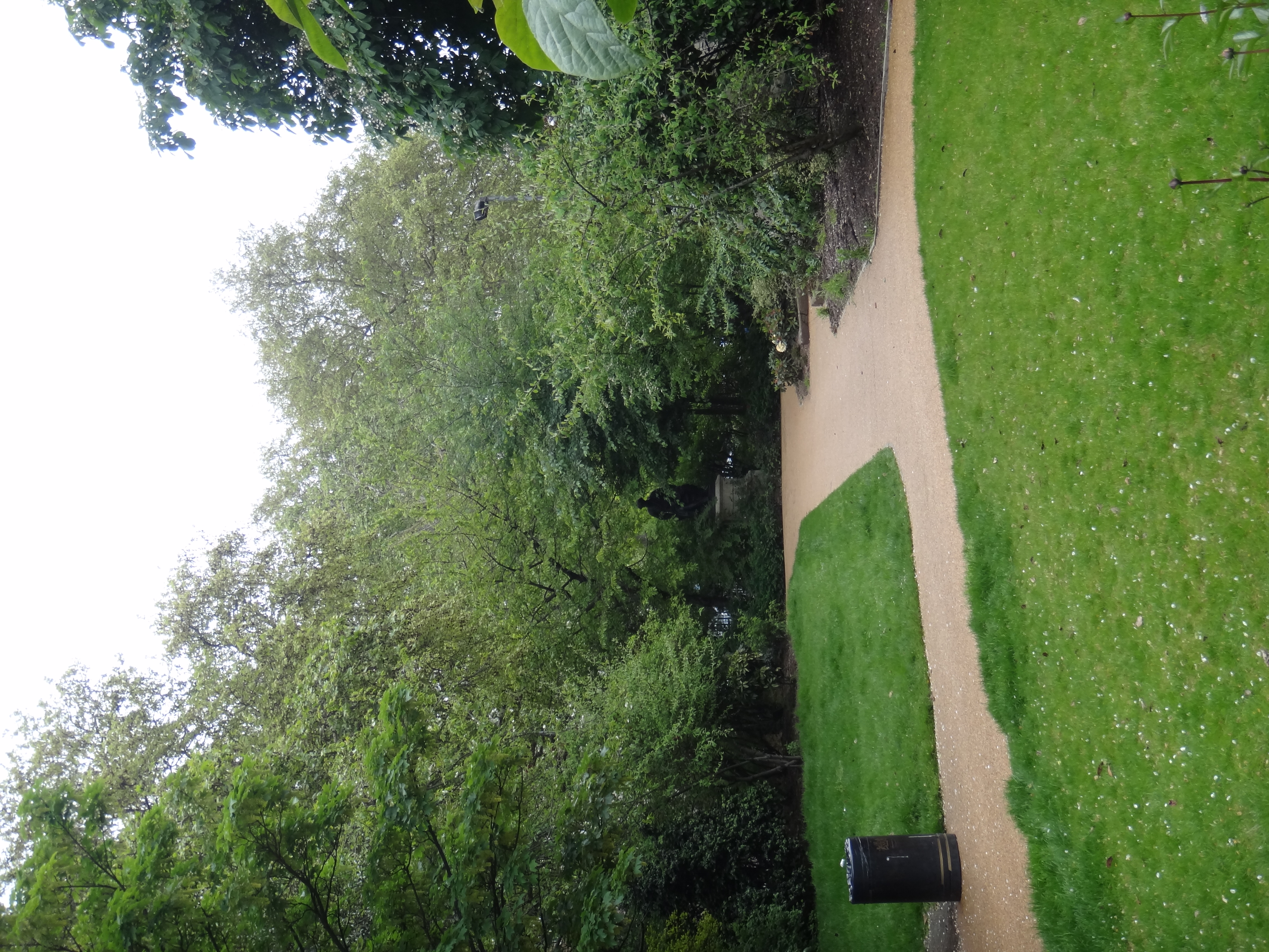
Fig. 2.102 View of the gardens 14-05-2012.
2.6.35.5. Data acquisition
Data can be requested from Prof. Sue Grimmond (c.s.grimmond@reading.ac.uk).
2.6.35.6. References
Magliulo, V., Toscano, P., Grimmond, C. S. B., Kotthaus, S., J�rvi, L., Set�l�, H., Lindberg, F., Vogt, R., Staszewski, T., Bubak, A., Synnefa, A. and Santamouris, M. (2014) Environmental measurements in BRIDGE case studies. In: Chrysoulakis, N., de Castro, E. A. and Moors, E. J. (eds.) Understanding Urban Metabolism. Routledge, pp. 45-57. ISBN 9780415835114
Tip
Stuck? the user guide is a useful place to start.
Please report issues at GitHub Issues. Go from the page with the problem - an automatic link will be inserted. Thanks.