2.6.24. MR
2.6.24.1. Introduction
Marylebone Road (MR) is a LUMA site in London borough of the City of Westminster. It has had a Ceilometer stationed there since 2011. The site is part of the London Air Quality network so stations an array of air quality monitoring equipment, administered by the Environmental Research Group at Imperial College London.
2.6.24.2. Site metadata
Site ID |
MR |
|
|---|---|---|
Full Name |
Marylebone Road |
|
Network |
LUMA |
|
Longitude |
-0.154566 |
degrees |
Latitude |
51.52253 |
degrees |
Start date |
2011-03-09 |
UTC |
End date |
UTC |
|
Displacement height |
-999.0 |
m |
City |
London |
2.6.24.3. Deployments at site
Deployment ID |
Instrument ID |
Instrument serial |
Type |
Deployment name |
Start date |
End date |
|---|---|---|---|---|---|---|
UTC |
UTC |
|||||
367 |
ceilometer |
CL31-C |
2011-03-09 |
Deployment ID |
Height |
Yaw |
Pitch |
Roll |
|---|---|---|---|---|
m asl |
degrees |
degrees |
degrees |
|
367 |
32.0 |
0.0 |
0.0 |
0.0 |
Deployment ID |
Profile bottom |
Profile top |
Profile step |
|---|---|---|---|
m asl |
m asl |
m |
|
367 |
41.5 |
7731.5 |
10.0 |
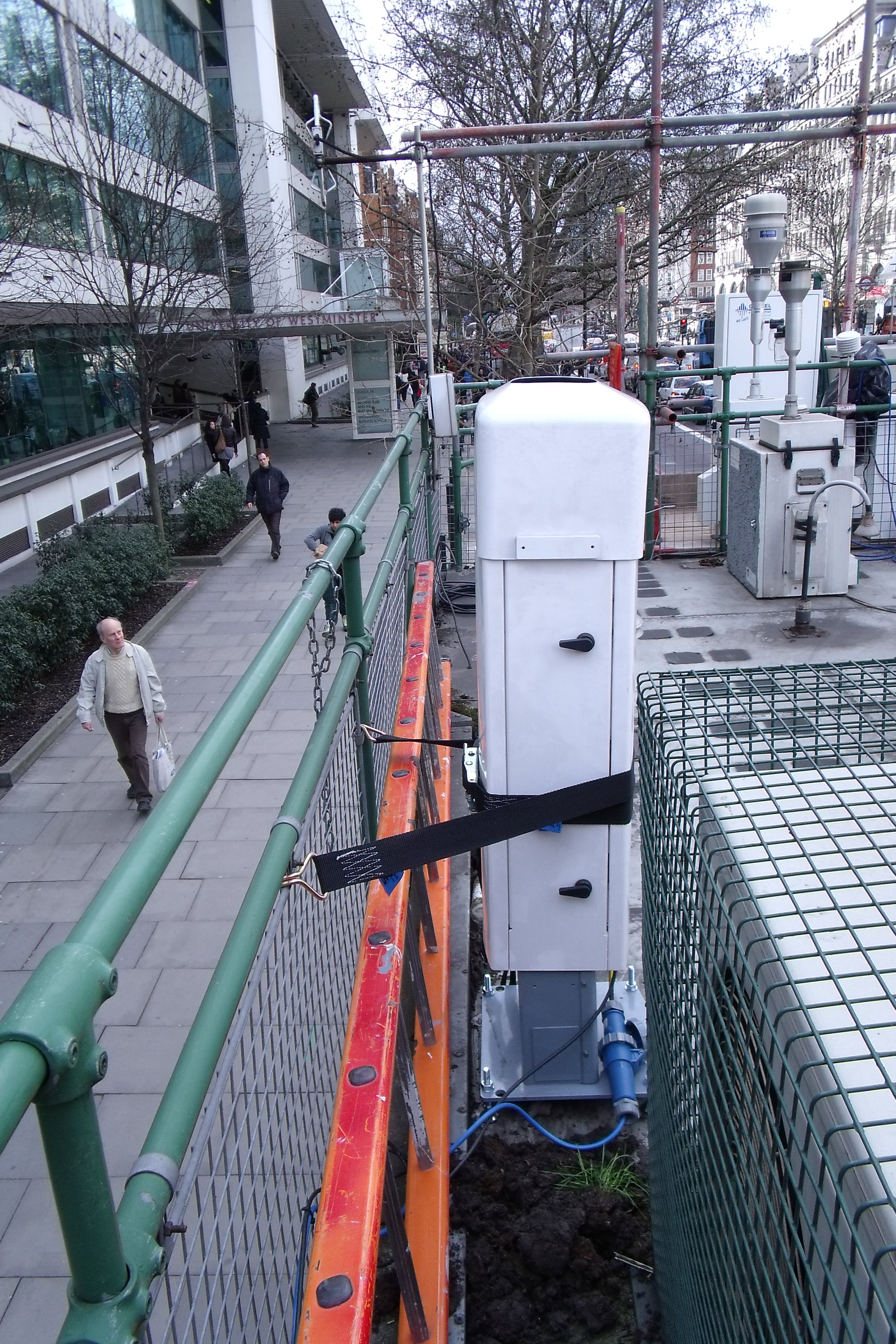
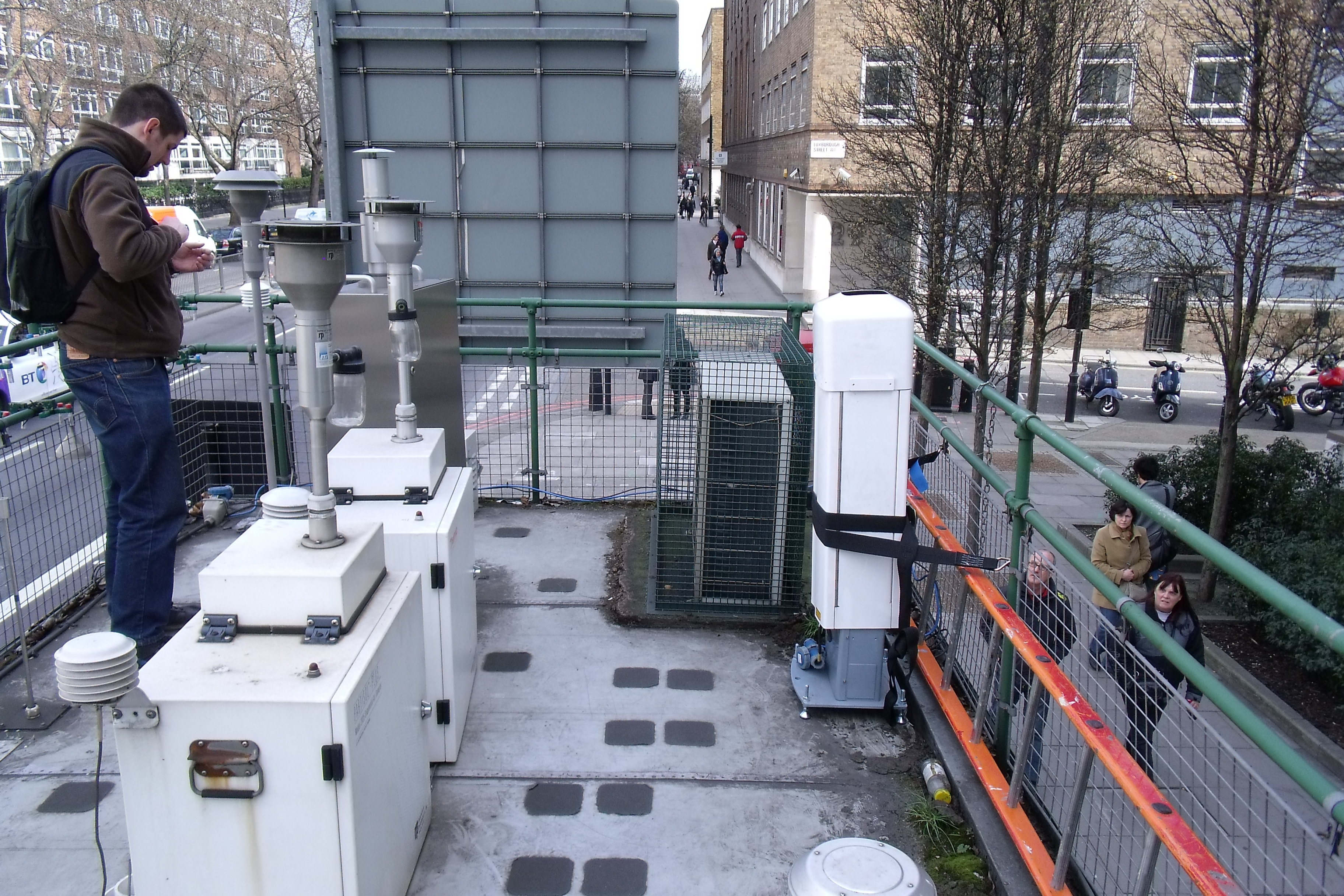
2.6.24.4. Photos
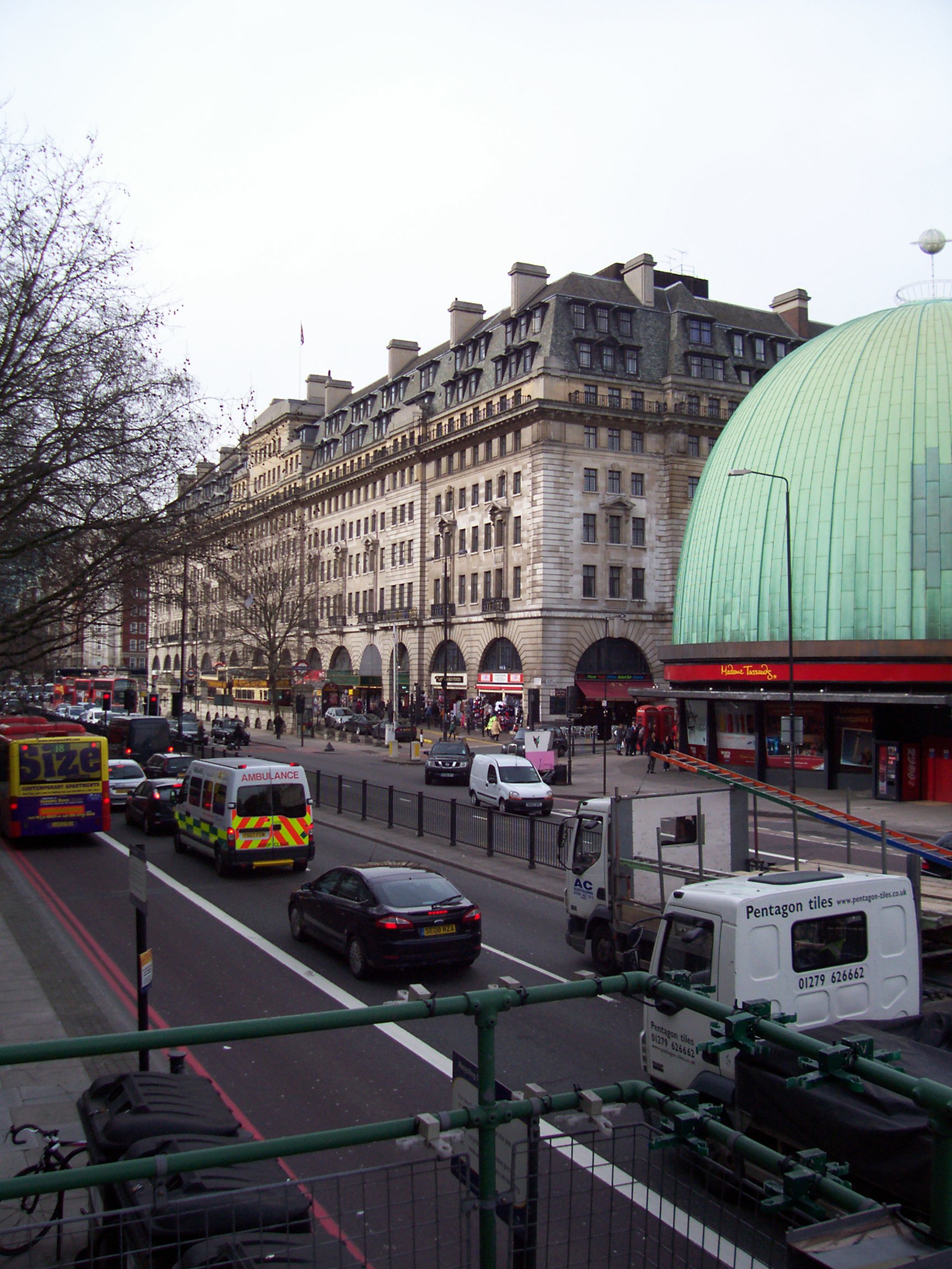
Fig. 2.69 View facing NW 03-03-2010.
2.6.24.5. Data acquisition
Data can be requested from Prof. Sue Grimmond (c.s.grimmond@reading.ac.uk).
2.6.24.6. Data availability
Double click on legend to isolate instruments.
2.6.24.7. References
Theeuwes, N. E., Boutle, I. A., Clark, P. A. and Grimmond, S. (2021) Understanding London’s summertime cloud cover. Quarterly Journal of the Royal Meteorological Society. ISSN 1477-870X doi: https://doi.org/10.1002/qj.4214
Sützl, B. S., Rooney, G. G., Finnenkoetter, A., Bohnenstengel, S. I., Grimmond, C. S. B. and Reeuwijk, M. v. (2021) Distributed urban drag parameterization for sub‐kilometre scale numerical weather prediction. Quarterly Journal of the Royal Meteorological Society. ISSN 1477-870X doi: https://doi.org/10.1002/qj.4162
Hertwig, D., Grimmond, S., Kotthaus, S., Vanderwel, C., Gough, H., Haeffelin, M. and Robins, A. (2020) Variability of physical meteorology in urban areas at different scales: implications for air quality. Faraday Discussions. ISSN 1364-5498 doi: https://doi.org/10.1039/D0FD00098A
Harrison, R. M., Beddows, D. C. S., Alam, M. S., Singh, A., Brean, J., Xu, R., Kotthaus, S. and Grimmond, S. (2019) Interpretation of particle number size distributions measured across an urban area during the FASTER campaign. Atmospheric Chemistry and Physics, 19 (1). pp. 39-55. ISSN 1680-7324 doi: https://doi.org/10.5194/acp-19-39-2019
Theeuwes, N. E., Barlow, J. F., Teuling, A. J., Grimmond, C. S. B. and Kotthaus, S. (2019) Persistent cloud cover over mega-cities linked to surface heat release. npj Climate and Atmospheric Science, 2. 15. ISSN 2397-3722 doi: https://doi.org/10.1038/s41612-019-0072-x
Tsiringakis, A., Steeneveld, G.‐J., Holtslag, A. A. M., Kotthaus, S. and Grimmond, S. (2019) On‐ and off‐line evaluation of the single‐layer urban canopy model in London summertime conditions. Quarterly Journal of the Royal Meteorological Society, 145 (721). pp. 1474-1489. ISSN 1477-870X doi: https://doi.org/10.1002/qj.3505
Kotthaus, S., Halios, C. H., Barlow, J. F. and Grimmond, C. S. B. (2018) Volume for pollution dispersion: London’s atmospheric boundary layer during ClearfLo observed with two ground-based lidar types. Atmospheric Environment, 190. pp. 401-414. ISSN 1352-2310 doi: https://doi.org/10.1016/j.atmosenv.2018.06.042
Kotthaus, S. and Grimmond, C. S. B. (2018) Atmospheric boundary layer characteristics from Ceilometer measurements part 2: application to London’s urban boundary layer. Quarterly Journal of the Royal Meteorological Society, 144 (714). pp. 1511-1524. ISSN 1477-870X doi: https://doi.org/10.1002/qj.3298
Kotthaus, S. and Grimmond, C. S. B. (2018) Atmospheric boundary layer characteristics from ceilometer measurements. Part 1: a new method to track mixed layer height and classify clouds. Quarterly Journal of the Royal Meteorological Society, 144 (714). pp. 1525-1538. ISSN 1477-870X doi: https://doi.org/10.1002/qj.3299
Tip
Stuck? the user guide is a useful place to start.
Please report issues at GitHub Issues. Go from the page with the problem - an automatic link will be inserted. Thanks.